HISTORY
Found out:
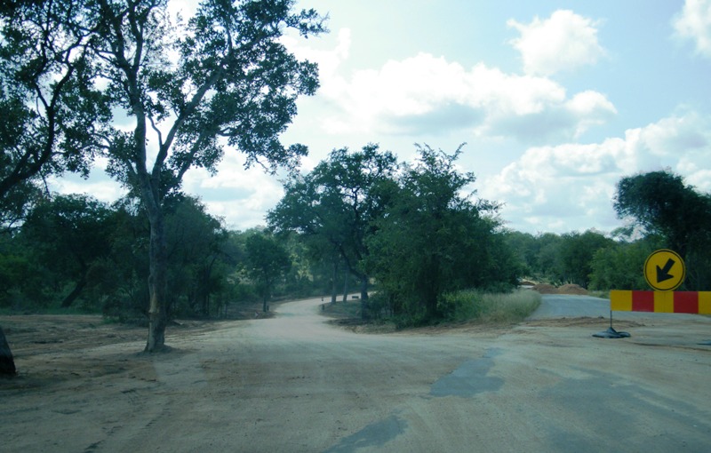
The tar road was built mostly from scratch during 1970/71, as part of the main arterial to the north. One fascinating fact is that construction measurements changed from the Imperial to the Metric system in 1970, so there is a 'stripe" in the road a way south of Tshokwane where one could see the change in dimensions, henceforth used in all subsequent roads!

The road is strictly a communications route, although they manged to follow the Sand River as far as possible.
The old Skukuza/Tshokwane dirt road can still be seen faintly going off to the east from the access road to Leeupan.
Manzimahle
The dam was built in 1969 as a water source for the road construction effort, and has a very small catchment (30 sq km).
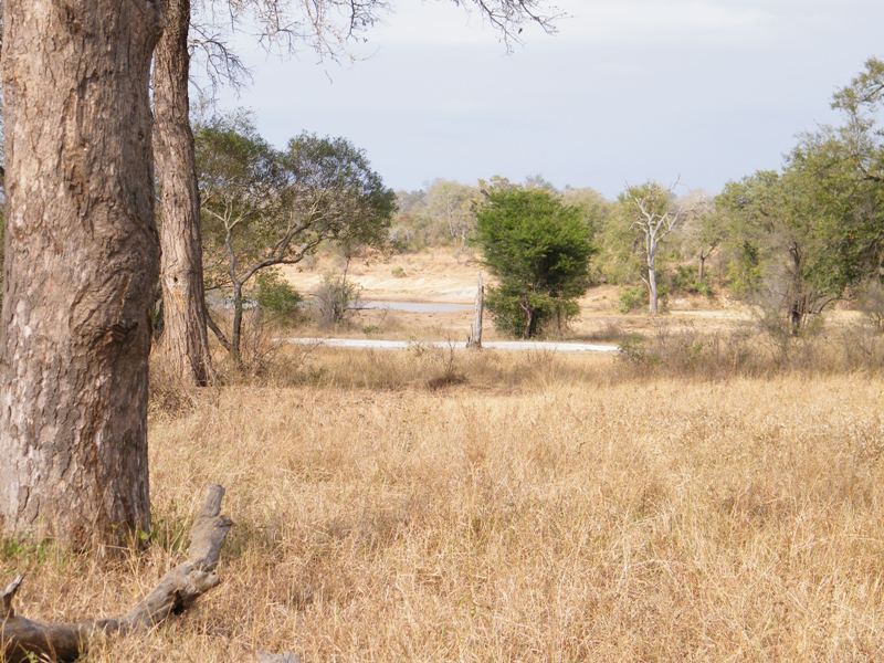
Leeupan
The pan is natural, but as one can see in the satellite pic there is indeed an earthern embankment to the northeast. This was added by ranger Jones in the very old days to help with water retention as long as possible for tourism purposes. Remember, this was the local only waterhole for viewing back then.
Silolweni (Shiloweni) Dam
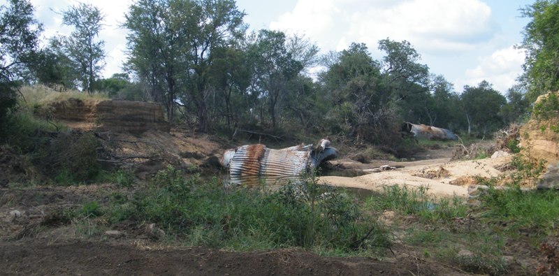
It was built the year after the road was finished. Unfortunately a worker was caught by a lion at midday, highly unusual! There is a grave indicator within sight of the access road. But the dam was breached many years ago due to algal poisoning, and access remains closed.
Please check Needs Attention pre-booking: https://africawild-forum.com/viewtopic.php?f=322&t=596